
West Antarctica Visible From Space in Stunning ESA Image
The European Space Agency released a striking image of West Antarctica from space, highlighting the continent's vast icy expanse. The view offers a unique perspective on this critical region of Earth.

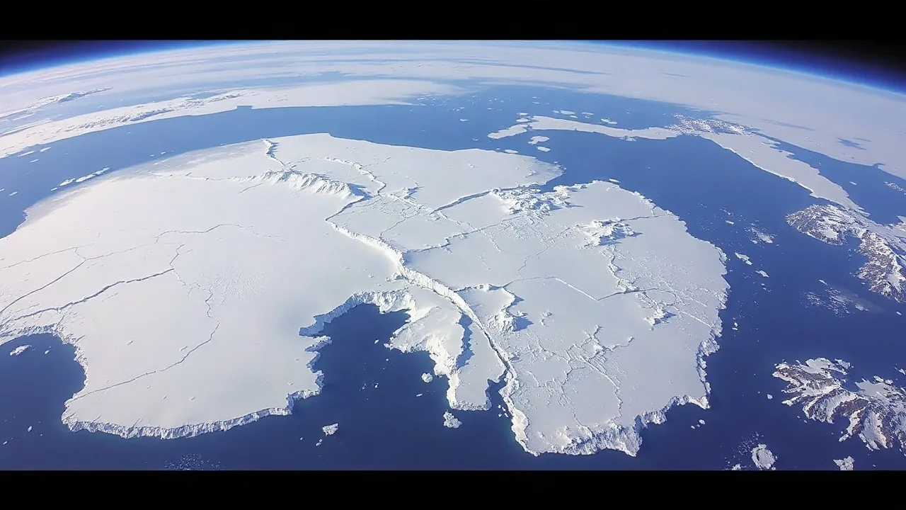
The European Space Agency (ESA) has unveiled a breathtaking image captured from orbit, showcasing the vast icy landscapes of West Antarctica. The photograph, part of the "Earth from Space" series, provides an unparalleled perspective of the continent's immense scale and delicate ice formations.
This particular view of West Antarctica, a region often less studied than its eastern counterpart, reveals intricate patterns of glaciers and ice shelves extending into the Southern Ocean. The image emphasizes the stark beauty and formidable environmental conditions of the polar region. While the immediate focus is on the visual, the context of Antarctic research underscores the importance of such imagery in understanding global climate patterns.
Understanding Polar Dynamics
West Antarctica is a critical area for scientific research, particularly concerning its ice sheets' stability and their potential contribution to global sea-level rise. Recent studies, including those referencing concerning trends in Arctic sea ice, offer a backdrop for understanding the broader implications of changes occurring in Earth's polar regions. Scientists are continually monitoring the ice mass balance, melt rates, and the dynamics of ice flow in areas like the Thwaites and Pine Island glaciers, which are located within West Antarctica.
The data gathered from space-based missions, like those conducted by the ESA, are instrumental in this monitoring. Satellites equipped with advanced sensors can measure changes in ice thickness, surface elevation, and ice velocity with remarkable precision. This long-term data collection allows researchers to identify subtle shifts and significant trends that might otherwise go unnoticed from ground-based observations alone. The visual documentation provided by agencies like ESA serves not only scientific purposes but also raises public awareness about the majesty and vulnerability of these remote environments.
The significance of West Antarctica cannot be overstated. It holds enough ice to raise global sea levels by several meters if it were to melt entirely. Therefore, understanding the processes driving ice loss in this region is a global priority. The Antarctic ice sheet as a whole plays a crucial role in regulating Earth's climate by reflecting solar radiation and influencing ocean currents. Changes here have far-reaching consequences for ecosystems and human populations worldwide.
The image serves as a powerful reminder of the planet's interconnected systems. While the excerpt mentions potential underestimations in winter sea ice loss based on ancient Arctic clues and notes that Arctic sea ice hit a troubling low in 2026, the focus of this particular image is on the visual representation of West Antarctica. However, the broader scientific context links these polar observations, highlighting the urgent need for continued research and global cooperation in addressing climate change.