
Mount Timpanogos Rock Glacier Holds 600 Olympic Pools of Water
University of Utah geologists discovered a substantial ice deposit, equivalent to 600 Olympic swimming pools, hidden within a rock glacier on Mount Timpanogos. This finding offers new insights into Utah's water resources and potential geological hazards.

SALT LAKE CITY — University of Utah geologists have identified a significant hidden water source within a rock glacier on Mount Timpanogos, an discovery that could reshape understanding of the region's water supply and associated geological risks. The research indicates the presence of enough ice to fill approximately 600 Olympic swimming pools, buried beneath the mountain's rocky surface.
Physicist Michael Thorne explained that the glacial ice is concealed by layers of rocks, gravel, and debris, making it indistinguishable from the surrounding terrain to casual observers. "We suspect that there's ice under many of them," Thorne stated. "And as you're looking from the surface, you can see these features, you can measure how large they are on the surface. But what we can't do is tell how much ice, how thick the ice is underneath them." While many formations identified as rock glaciers are simply devoid of ice, the Timpanogos deposit contains a substantial body of ice up to 150 feet thick, located above Emerald Lake.
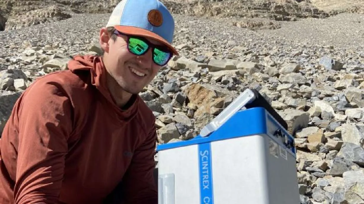
The breakthrough came after Thorne and glaciologist Lief Anderson collaborated, developing a novel method to map the subterranean ice. Thorne and former graduate student Bronson Cvijanovich spent a semester testing various geophysical devices and measurement techniques. Their persistence led them to a method utilizing highly precise measurements of gravitational acceleration. "If you go from measuring gravitational acceleration over rock — like over the rock that makes up Mount Timpanogos, it has greater mass, greater density. But then if I walk over an area that has thicker ice, that ice has less density than the rock," Anderson explained. "So the gravitational acceleration that we measure is actually less. And so then we can do this modeling." The team refined this approach to create a 3D image of the ice body, allowing them to accurately estimate its thickness and volume.
Assessing Water Resources and Hazards
The slow, steady growth of these ice-filled rock glaciers is attributed to annual snowfall being rapidly covered by debris from rock slides and surface erosion. This protective layer allows the ice to melt more slowly than exposed glaciers, making it a valuable, sustained water source, particularly in arid regions like Utah. "That melt occurs in the summer after all or most of the snow, for example, in the Wasatch or the Uinta has melted away," Anderson noted. "The rock glaciers are providing a sort of a sustained late summer flow into streams and then also into the groundwater. And so that can be an important contribution to the watershed."
Beyond water supply, the cooler meltwater from these insulated glaciers can offer ecological benefits for cold-water aquatic species. However, the hidden nature of this ice also presents potential hazards. The catastrophic flooding events seen in regions like Nepal, which involved glacier collapses and debris flows, serve as stark warnings. "It's a horrible tragedy what's happened in Nepal," Anderson said. "And I know there's a lot of people who have been researching hazards in like high tectonic places, like the Himalaya or the Wasatch, and how it relates to sort of, earthquakes and glaciers and, also debris and rocks."
As global temperatures rise, geologists are observing an increase in glacier retreat and destabilization, often accompanied by debris accumulation. "We are also seeing an increase in these really large catastrophic events related to the collapse of glaciers," Anderson warned. "You're changing the shapes of glaciers with climate change. They're shrinking, they're becoming, that will tend to lead to more unstable situations." This research contributes to a growing body of work aimed at identifying and monitoring these potentially hazardous glacial formations, particularly in seismically active mountain ranges like the Wasatch Front.
Utah is estimated to host around 836 rock glaciers, potentially holding enough ice to fill 400,000 Olympic swimming pools. The research team is actively working to identify more such deposits, with likely candidates located near Mount Timpanogos and in Little Cottonwood Canyon. The proximity to the Wasatch fault, a major seismic hazard, adds another layer of concern. "There's no doubt, right, that the Wasatch Front, the big hazard is the Wasatch fault and magnitude 7 earthquakes. And so whenever you shake mountains, things can fall. And another huge hazard here," Anderson stated, referencing historical rock avalanche deposits in areas like Snowbird ski resort as examples of the dynamic geological processes at play.