
Spokane Fires: How Green Tech Prevents Wildfires
As Spokane faces escalating fire threats in 2026, green technology innovations including AI-powered early detection and sustainable forest management are reshaping wildfire prevention strategies across the Pacific Northwest.

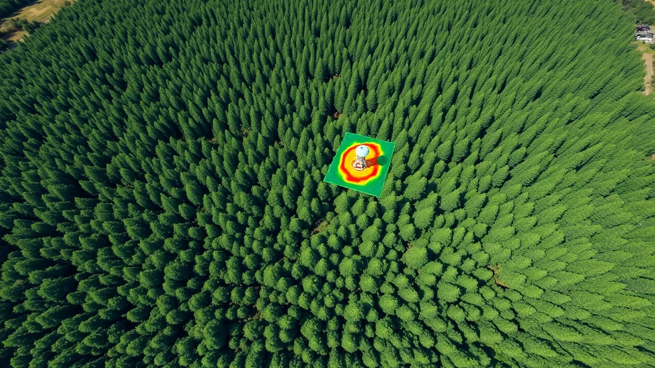
Spokane County experienced three major fire incidents in late July 2026, affecting over 8,000 acres and prompting emergency evacuations across eastern Washington. These blazes have reignited urgent conversations among local officials, land managers, and environmental technologists about deploying advanced monitoring systems and sustainable practices to reduce future risk.
The incidents underscore a critical gap between traditional fire management and the technological tools now available. "We're at an inflection point where real-time data and predictive analytics can meaningfully reduce response times," said Dr. Marcus Chen, director of the Pacific Northwest Wildfire Research Institute, in a recent statement to regional media.
Real-Time Detection and Predictive Analytics
Early detection systems have evolved dramatically over the past three years. Thermal imaging satellites, ground-based LiDAR networks, and drone-mounted infrared sensors now allow fire managers to identify hotspots hours or even days before they become uncontrollable.
Companies operating in the Pacific Northwest have deployed sensor arrays that track temperature, humidity, fuel moisture, and wind patterns simultaneously. When conditions align, algorithms flag high-risk zones and alert crews before a single tree ignites. The technology proved effective in two preemptive responses near Colville this summer, preventing what officials estimated could have become major incidents.
Integration with weather modeling has also improved. Machine learning models now cross-reference local atmospheric data with historical fire behavior patterns to generate 48-hour risk forecasts with increasing accuracy. Forest Service districts in Washington have begun scheduling fuel reduction work based on these predictions rather than guesswork.
Sustainable Land Management and Forest Health
Sustainable land management practices are being implemented at scale across the region. Selective thinning, prescribed burning windows optimized by weather AI, and removal of disease-weakened timber all reduce fuel load without clear-cutting entire forests.
The Spokane-Coeur d'Alene region has allocated funding to remove dead lodgepole pine, which currently comprises 60 percent of forest fuel load in high-risk zones. This dead wood burns hotter and spreads fire faster than living timber. By removing it strategically, land managers lower the maximum possible fire intensity in a given area.
Importantly, these operations are now guided by environmental tech platforms that map forest health, prioritize work zones by risk and ecological value, and track carbon sequestration from restored landscapes. Spokane County has partnered with two technology firms to pilot automated planning software that recommends treatment areas based on fuel density, proximity to homes, and habitat value.
- Thermal satellite monitoring with 24-hour revisit cycles
- AI-powered fuel load estimation using high-resolution imagery
- Prescribed burn optimization based on real-time weather windows
- Carbon accounting dashboards for long-term land restoration projects
Climate Solutions and Green Infrastructure
Addressing root causes matters as much as treating symptoms. Spokane's regional climate has warmed 1.8 degrees Fahrenheit since 1990, extending fire season by an average of two weeks annually. Climate solutions that reduce overall warming pressure therefore have measurable direct impacts on fire risk.
Renewable energy deployment in eastern Washington is accelerating. Solar and wind installations reduce regional carbon emissions while providing power for the intensive computational demands of fire detection networks. The Spokane Public Utilities Department announced in June 2026 that its microgrid now runs entirely on renewables during daylight hours, enough to power three major monitoring stations 365 days per year.
Beyond power, green infrastructure projects like riparian restoration and meadow rewetting increase landscape water retention. Healthier wetlands and streamside vegetation act as natural firebreaks and create humid microclimates that resist ignition. Spokane County's environmental department has restored 340 acres of wetland since 2024, specifically targeting areas that historically funneled wind-driven fires toward populated zones.
Community resilience programs have also adopted green building standards. New fire-defensible construction in at-risk areas must meet specific criteria: metal roofing, ember-resistant vents, native fire-resistant landscaping, and rainwater cisterns for rapid response. Insurance providers now offer premium discounts for homes meeting these standards, creating a market incentive for adoption.
Coordination and Next Steps
Success requires institutional coordination. Spokane County Emergency Management, the Washington State Department of Natural Resources, the U.S. Forest Service, and tribal land authorities are now synchronized through a shared data platform launched in April 2026. When one agency detects unusual thermal signatures, all partners receive the alert simultaneously.
The region has also committed to expanding this infrastructure. Funding approved in the 2026 state budget will add 12 new ground monitoring stations and upgrade satellite data access through 2028. Training programs for seasonal firefighters now include modules on operating detection software and interpreting predictive maps.
For a region historically dependent on reactive firefighting, the shift toward data-driven prevention represents a fundamental change. The Spokane fires of summer 2026, though serious, may mark the moment when green technology transitioned from pilot projects to essential infrastructure in wildfire management.